Brownfields Infrastructure
This project was developed to conduct initial assessments on 10 historic mining sites in the Middle Kuskokwim Region.
History
The middle Kuskokwim area was the main supplier for mercury during World War 1 before there were any mining oversite and laws. There has been 2 mining sites in the region that became EPA Superfund clean up sites, The Kalmakoff Mine that was cleaned up and The Red Devil Mine that is in decision for Remediation.

Goals
The goal for Brownfields Infrastructure Project is to visit 10 historic mining sites in the Middle Kuskokwim Region and see if they have been left behind safe or in need of clean up action.
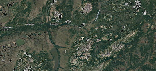
Helicopter Services to get to Remote Mining Sites
We will get to the remote mining locations by helicopter to complete the initial assessments, inventory and mapping of the areas.

Initial Assessment
We will conduct initial assessment, inventory, and map each mining site we visit. We will make a 3D map with a drone, use a YSI water probe and PID gas sniffer if any contamination present, (only surface samples)

3D Mapping with Drone
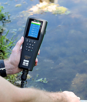
YSI water probe

PID Gas Sniffer

Laptop for checking mapping and inventory
Procurement
Brownfields Infrastructure funding we were able to procure some additional equipment to aid our program with this project and future plans in our Brownfields Tribal Response Program.
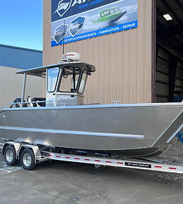
Small Landing Craft

Polaris Sportsman ATV
Native Village of Napimute
Brownfields Infrastructure
Project

2024 Field Work Complete

Helicopter Services Contractor used to get to the remote mining sites.
Bering Air Helicopter Services

QEP Contractor
BGES Environmental Services

Soil and water samples were collected and sent for analysis.
Soil and Water Samples Collected

Drone flew over each site to create a digital 3D map.
Drone Mapping